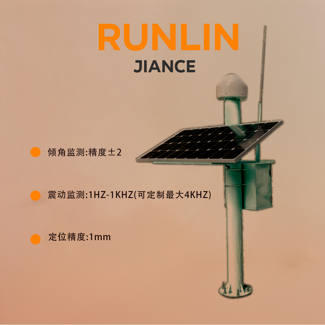
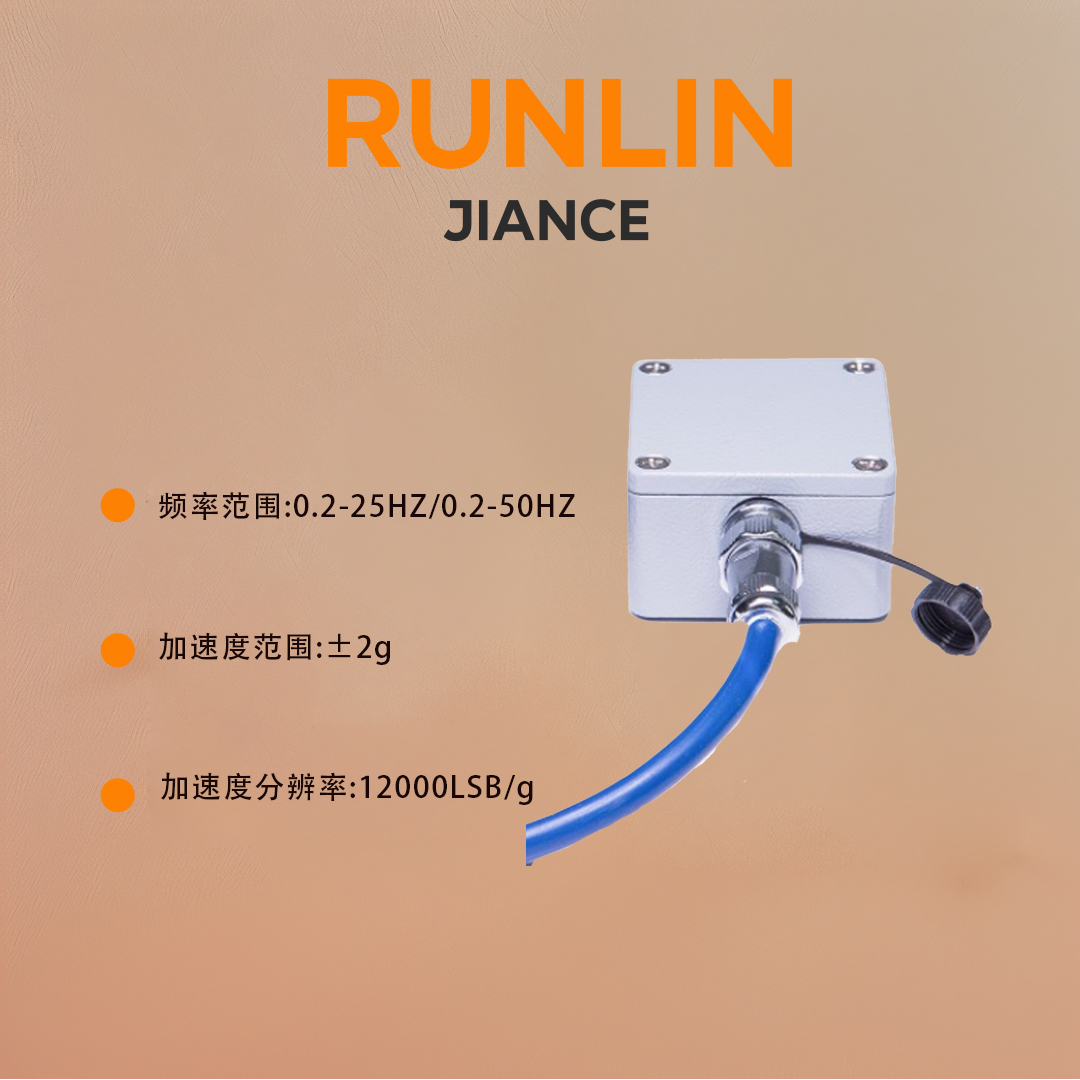
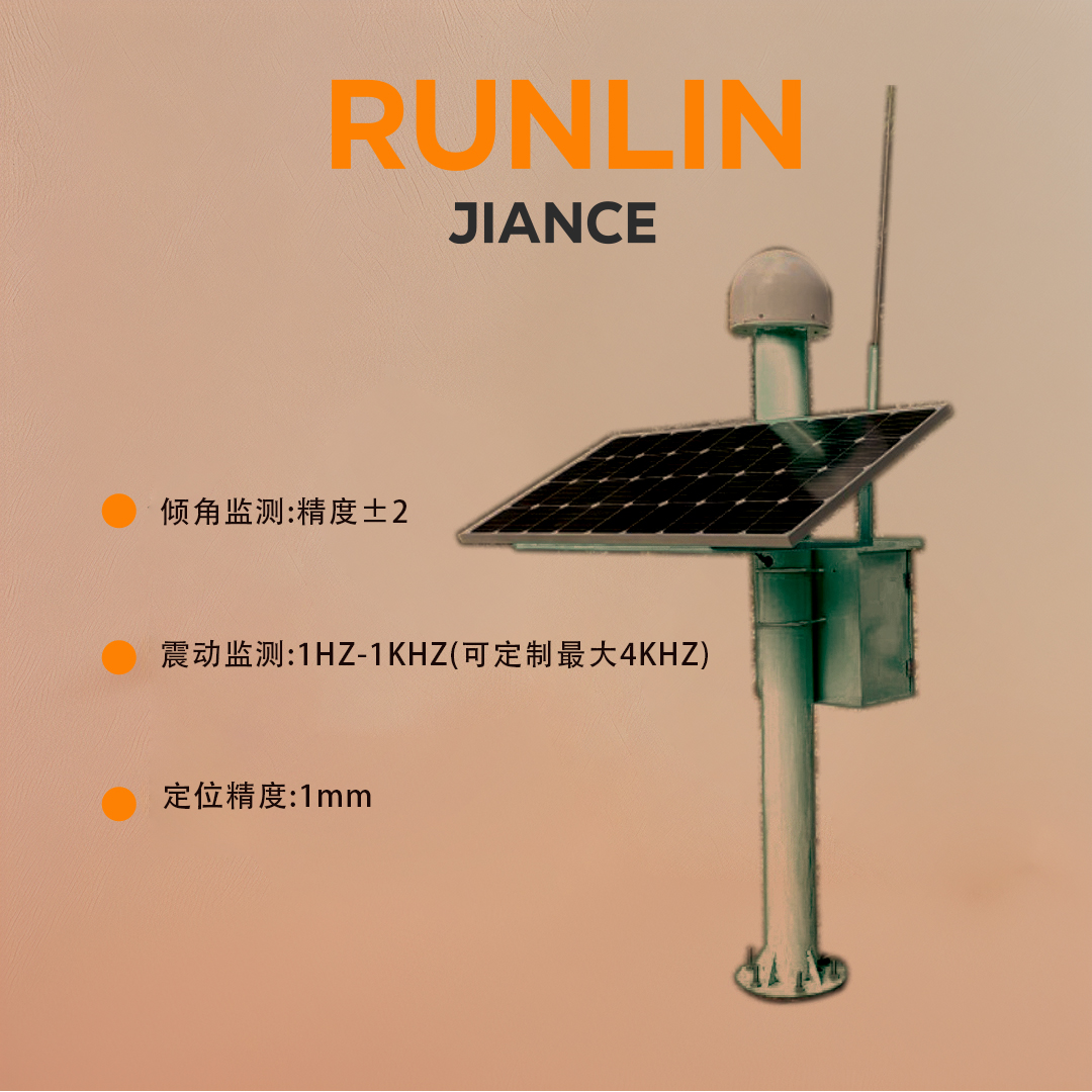
GNSS positioning and measurement technology plays a crucial role in modern engineering, especially in key operations such as control network construction and displacement monitoring. This technology is based on the Global Navigation Satellite System (GNSS), and its core workflow is to efficiently collect satellite signals by reasonably arranging two or more GNSS receivers. These receivers, with advanced RF technology and signal processing algorithms, are able to stably and accurately capture signals from multiple satellites
Millimeter level ultra-high precision: By using advanced carrier phase measurement technology and combining with multi satellite system fusion algorithms, it can achieve a positioning accuracy of up to 1mm, ensuring the ultimate accuracy of engineering measurement data.
Super strong climate adaptability: It is not restricted by severe weather conditions. It can stably receive satellite signals and maintain high-precision positioning in extreme weather environments such as rainstorm, sand and dust, or dense fog, so as to ensure the continuity of engineering survey work.
No visibility restrictions: Breaking through the bottleneck of traditional measurement methods where observation points must have visibility, even in areas with complex terrain and numerous obstacles, flexible measurement operations can be carried out, greatly expanding the scope of application of measurement work..
Fast observation and efficient operation: With the ability to quickly collect data, it can complete a large number of observation tasks in a short period of time. Combined with real-time data processing technology, it significantly improves work efficiency and greatly shortens the engineering measurement cycle.
卫星系统 | BDS+GPS+Glonass+Galileo,支持北斗三代 SBAS、QZSS |
倾角监测 | 实时倾斜姿态监测:精度±2” |
震动监测 | 1HZ-1KHZ(可定制最大4KHZ) |
震动监测 | 主机、天线一体化 |
静态定位精度 | 平面:2.5+0.5^10-6*Dmm高程:5+0.5^10-6*Dmm |
定位模式 | 单点、静态差分,加速度计融合动态差分 |
工作温度 | -40℃~+65℃ |
防护等级 | IP68 |
备注 | 北斗多传感器融合监测技术 |
Application
Railway, highway monitoring and tunnel monitoring, 2 bridge monitoring, 3 house monitoring, 4 slope monitoring


